County
Offaly
Distance
38 km
Duration
12 hours
Difficulty
Moderate
Activity
Hiking
At the trailhead
- Parking · Cadamstown
- Public transport · At Start: On Dublin - Birr CIE Bus Route, 4 times a day. At End: Possible one bus a day se…
- Toilets
- No dogs
- Part accessible · Some accessible facilities at trailhead
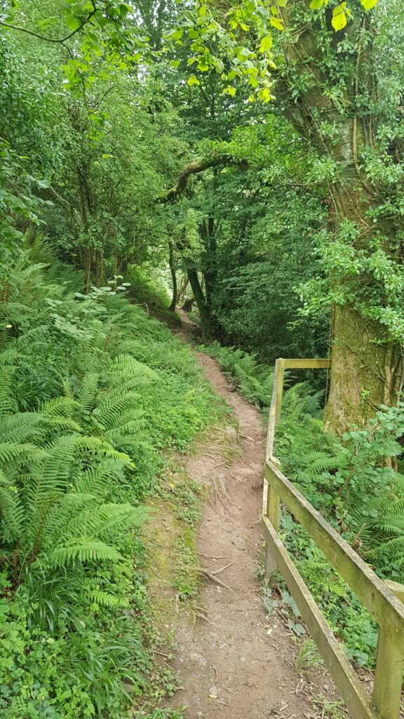
The Offaly Way is a 29 kilometre linear walking route in the midlands of Ireland that links the Slieve Bloom Way at the old village of Cadamstown with the Grand Canal Way and ends a few kilometres north of the canal at the ancient monastic site of Lemanaghan. This short route takes in a rich collection of features that will ensure many walkers will want to linger along the way, including the scenic Silver River and an old bridge that Red Hugh O’Donnell’s army is said to have crossed en route to the Battle of Kinsale in 1601, a rare Mesolithic site at Boora, and St Manchan’s holy well and St Mella’s Cell, a tiny early Christian church at Lemanaghan. The terrain consists of mainly quiet side roads and a couple of riverbank paths that are often wet and muddy in places. There is a shortage of overnight accommodation in the area, but Cadamstown is served by public transport. There are two or three loop walks in Boora Parkland including one which is wheelchair friendly. In this area there are a number of recreational projects and amenities, and experiments are being carried out on how to best use the landscape that has been stripped of its peat. For information follow external link to Shannon Region Trails
Elevation profile
Elevation data: EU-DEM 25 m © European Union, Copernicus. Profile follows the main waymarked line.
Along the way
Natural features
Peaks
Heritage & points of interest
Food & drink
Nature & wildlife
Data sources: map & points of interest © OpenStreetMap contributors · facilities from Get Ireland Active – Sport Ireland · species via GBIF · protected areas via NPWS.