County
Limerick
Distance
16.8 km
Duration
2 hours
Difficulty
Challenging
Total Ascent
360 m
Activity
Hiking
At the trailhead
- Parking · Glenosheen Car Park
- Public transport · Bus: https://www.locallinklc.ie/2019/11/23/ballyorgan-ardpatrick-kilmallock-charleville-do…
- Toilets
- No dogs
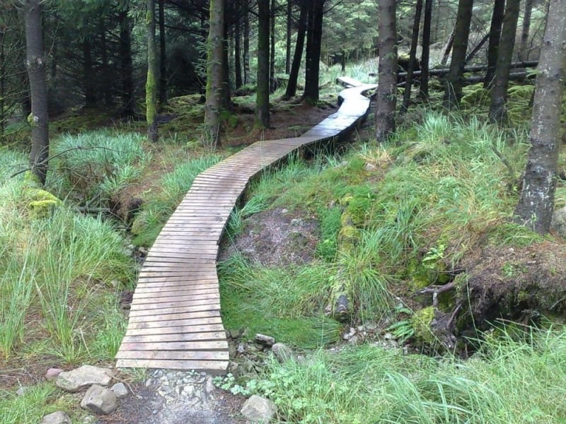
This Loop features some steep climbs on forest roads and singletrack as well as long singletrack descents. All of the singletrack trails have extremely varied and sometimes very uneven surfaces, including rocks, loose gravel, mud, water and roots and are often very narrow with lots of tight turns, encroaching vegetation and with trees and boulders very close to the trail. There are also long sections of elevated timber boardwalk with exposed edges and uneven and sometimes slippery surfaces.
Elevation profile
Elevation data: EU-DEM 25 m © European Union, Copernicus. Profile follows the main waymarked line.
Along the way
Peaks
Nature & wildlife
Data sources: map & points of interest © OpenStreetMap contributors · facilities from Get Ireland Active – Sport Ireland · species via GBIF · protected areas via NPWS.