County
Kerry
Distance
2.3 km
Duration
2 hours
Difficulty
Moderate
Total Ascent
376 m
Activity
Hiking
At the trailhead
- Parking · Car park at Kate Kearney’s cottage
- Public transport · Bus KY2
- No dogs
- Part accessible · Some accessible facilities at trailhead
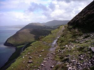
Strickeen (Struicín) Mountain is one of the more accessible mountains of the MacGillycuddy Reeks. Rising just over 300m from the valley floor of the Gap of Dunloe, the track is well-worn and from base to summit makes for simple navigation for the majority of the route. A steady gradient throughout allows for a consistent pace on both the ascent and descent, with impressive panoramic views at the top of the trail.
Download GPX
Route data: Get Ireland Active – Sport Ireland
Elevation profile
Elevation data: EU-DEM 25 m © European Union, Copernicus. Profile follows the main waymarked line.
Along the way
Peaks
Nature & wildlife
Data sources: map & points of interest © OpenStreetMap contributors · facilities from Get Ireland Active – Sport Ireland · species via GBIF · protected areas via NPWS.